South Korea – March 2026
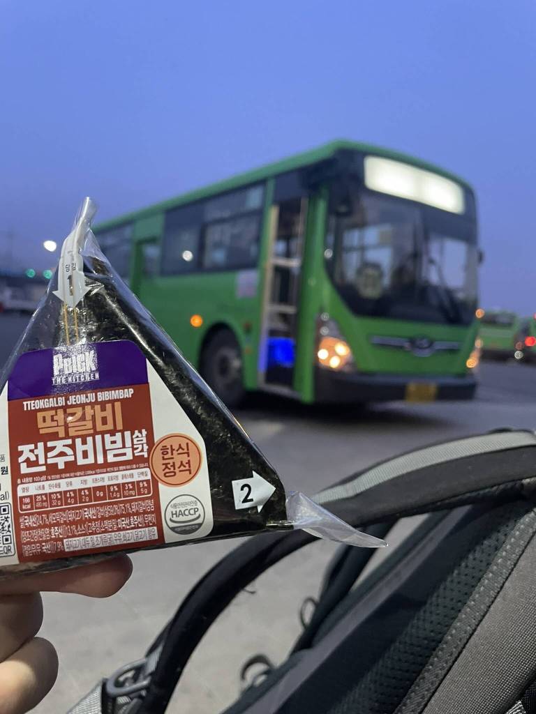
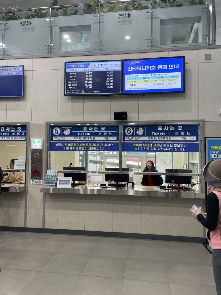
Back in 2023, I visited Jeju island for the first time to hike on the Jeju Olle trail. Whenever I chatted with other trekkers (mostly older Korean people), sooner or later one of us would ask the other: “What’s your favourite route of the Olle trail?”. And the numbers that were repeated most were 18-1 and 18-2. However, I had plans to meet a friend in Busan shortly after returning to Jeju-si and no time for a detour to Chuja-do. So I marked the small island between Jeju and mainland Korea with a star on my Kakao Maps and vowed to come back to complete the 2 extra routes. (Find an overview of all the routes here: jejuolle.org). And here we are: I finally make it back to Jeju island in March 2026. Almost exactly 3 years later. This time I’m taking the no-fly route heading south from Seoul to Jindo by bus (via Jeonju and Mokpo). I stay the night in Jindo, making sure that I can reach the ferry to Chuja do departing once a day at 8am sharp. The next morning, I’m waiting at the local bus terminal at 6am and ask around among the middle-aged drivers until I find the one leaving for the port. Once there, I quickly buy my ticket and board the waiting ship.

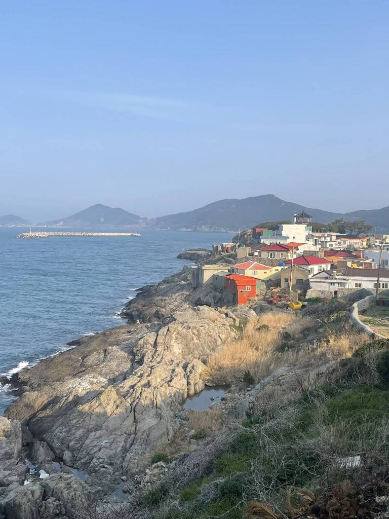
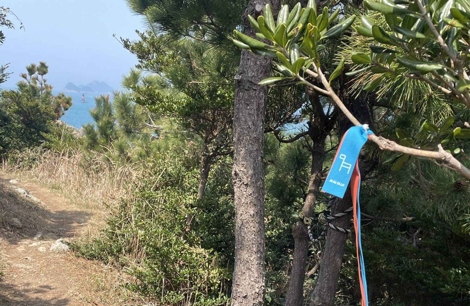
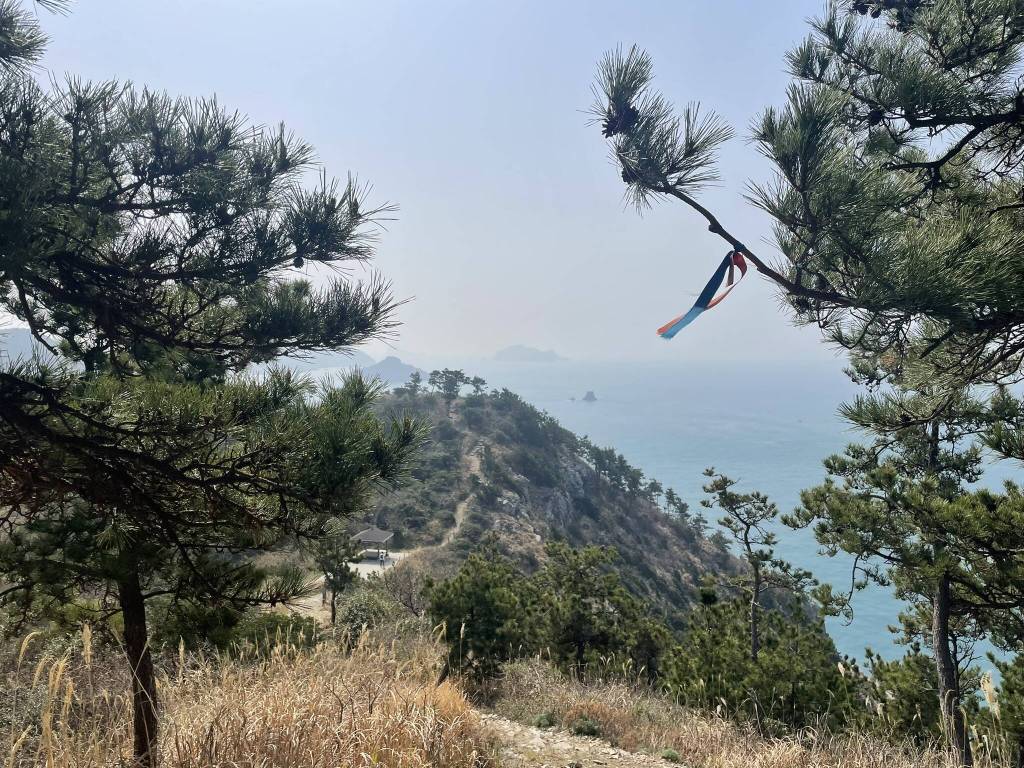
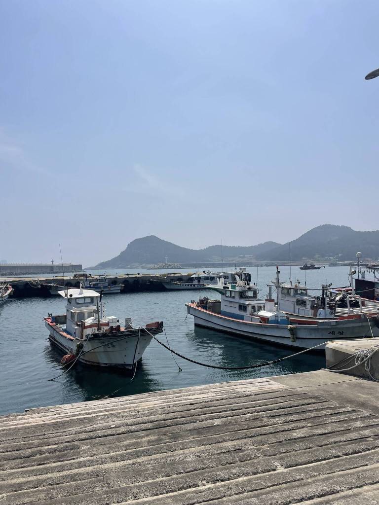
The ride is fast and smooth and we soon arrive at Sangchuja Port. As far as I read online, this is the area on the island with most 민박 (Minbak – local guesthouses) available. So before embarking on the Olle route 18-1, I steer towards 추자섬민박 in the hope of finding an affordable room for the night. With hand gestures I communicate my needs to the owner (only sleep, no food) and few moments later am shown to a spacious traditional Korean room with sleeping mats on the floor and a private bathroom. I drop my large backpack and head off in search of the blue and orange ribbons marking the Olle trail. I decide to take route 18-1 southwest and return to Sangchuja Port on route 18-2. According to the maps along the way, the combined lengths of the hike is around 20 kilometers and duration ranges between 7 to 9 hours. What the maps don’t show is the altitude gain. But soon, I find that out on my own. The first ascend is located just past the harbour area, with a small cobblestone alley leading up between the typical Jeju-style low houses with colourful roofs.
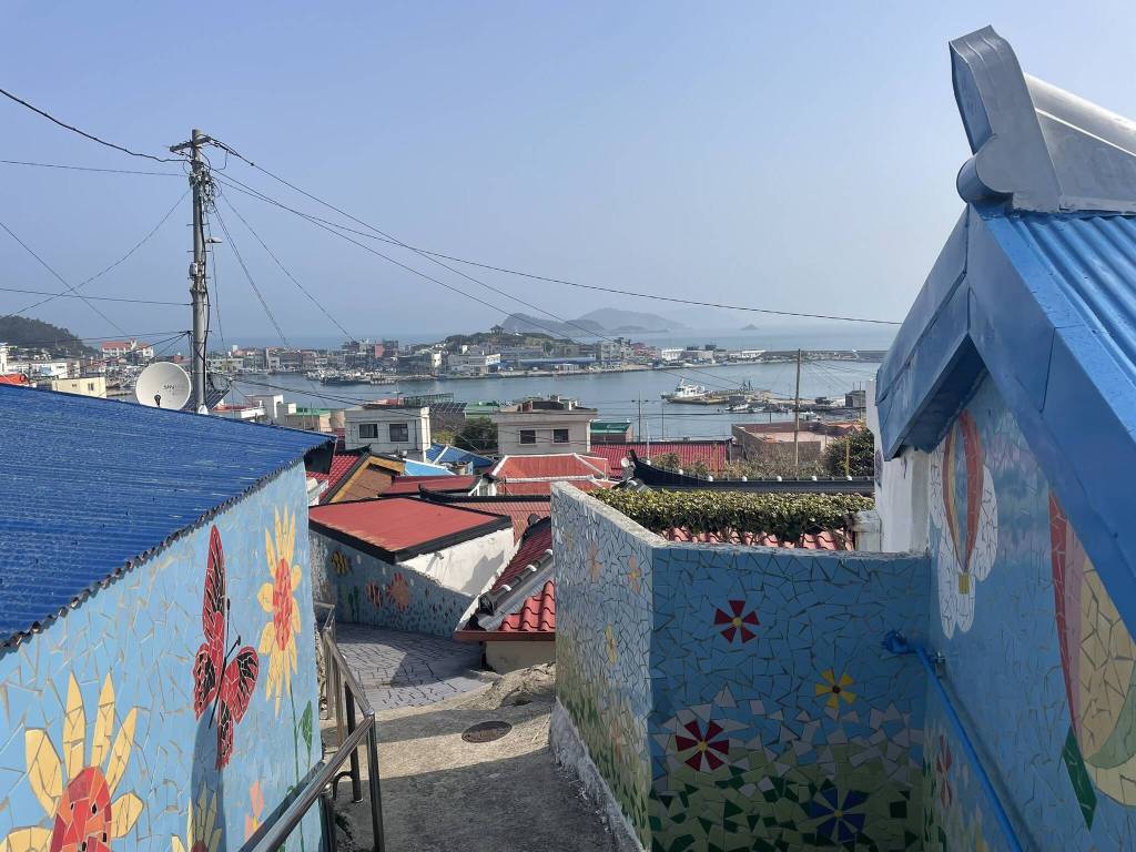
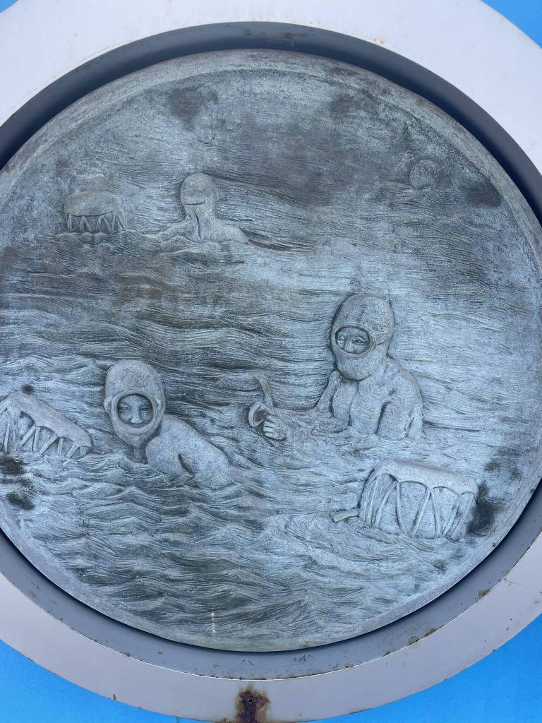
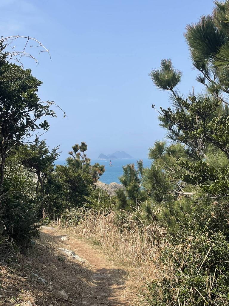
The view from the top on the quiet fishing village is the immediate gratification I need to continue the climb up on a forest path. Here I meet the first other hikers of the day. In general, the trail is more crowded than what I remember from other sections in Jeju. Granted, it is a sunny Saturday in early spring; perfect conditions for a hiking day by all means. I take a first break at the Chujado lighthouse to take in the magnificent views of the bright blue sea blending into the sky at the horizon. It’s a popular rest spot where people slow down after the first ascend, make use of the toilet facilities or take a look at the small art installation depicting the island’s main industry: fishing of all kinds. Deep sea on boats, from the shore, and through freediving. I don’t linger long, after all I still have around 18 kilometers to go. And from what I can see of the southern island now, more ups and downs are expecting me. I continue to follow the blue and orange ribbons down the hill and soon cross the bridge to the southern island. There, a group of older women are chanting along with a buddhist monk at the seaside.
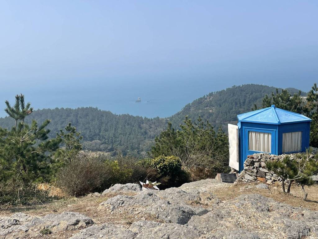
On the map that a lady at the Olle Trail information centre at Sangchuja Port gave me, I can see that the path is headed for Dondaesan Mountain. I consider skipping this climb and instead follow the seaside road for more ocean views. However, once I reach the entrance of the forest trail, a lovely older Korean couple kindly redirect me. So up the hill and through a bamboo grove I go. The climb is pretty steep, but once again I’m rewarded with amazing views. As I reach the beginning of the ridge, just below the top, I find a a small hexagonal blue hut. The west-facing door is open and a man is sitting in the shade nearby. If this was in the Himalaya, this would definitely be a place to buy a chai or some snacks. But the man in the shade seems to be taking notes of something. So I’m guessing this is more of a guard post or watchtower. I take a picture of the pretty scene and move on the real peak. In proper Olle Trail fashion there is a wooden Ganse stamp station set up for hikers, marking the half-way point for path 18-1. I’m starting to get a little hungry and soon make my way back down to sealevel.
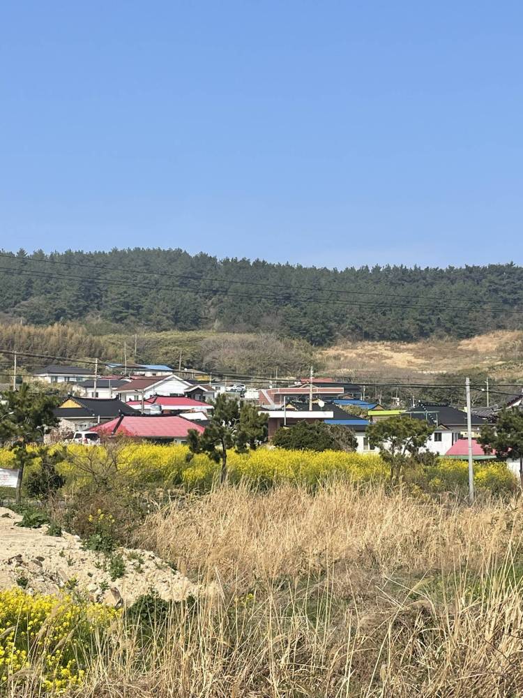
I pass through the small fishing village of Yecho, where I find colourful mural paintings and the first bright yellow canola blooming. From here on, I cross a couple of groups of hikers coming from the opposite directioin. Likely having taken the bus from Sangchuja Port to Hachuja, walking north on trail 18-1, skipping number 18-2. That way, a visit to Chujado could easily be shortened into a day trip. But I’m determined to do both. So I continue on the coastal trail, wishing I bought my lunch back at the convenience store in Sangchuja, so I could enjoy the views here with a meal. I still rest in a couple of pretty spots, keeping myself hydrated and recovering from yet another climb up one of the countless hills. Luckily port village on the southern end of the islands is coming into view soon and I’m checking my Kakao Map for a shop to buy some gimbap. However, the only one available is a small local convenience store. The products on offer include a selection of cup noodles, potato chips, cookies and lots of bottled coffee. So a vanilla latte and a bag of corn chips have to give me enough energy to return to Sangchuja.
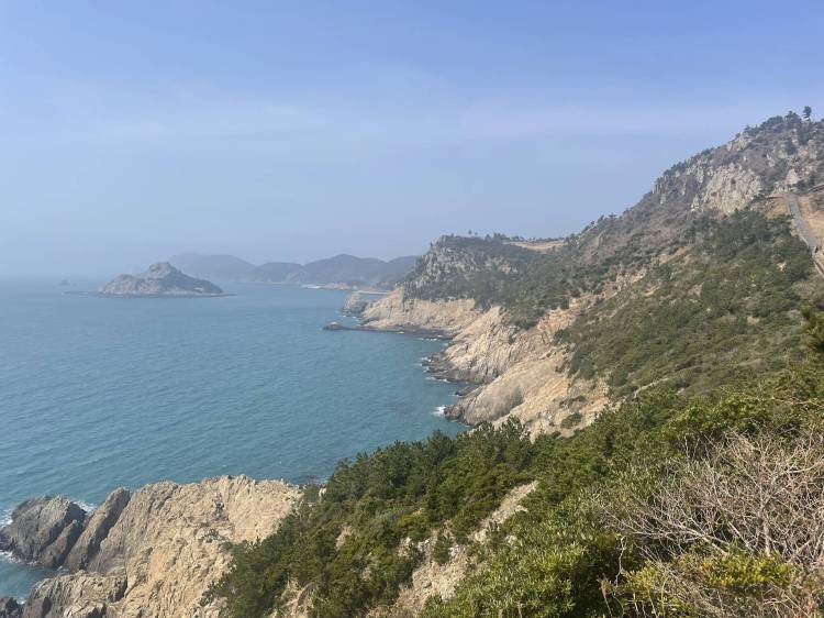
I eat my “lunch” on a small bench outside the town center before fighting another urge to cut the hike shorter by skipping Daewangsan View Point. Now, I don’t see any other hikers on the trail anymore. Most must have stopped for lunch somewhere along the way, or already taken a bus back north. So it’s completely up to me to motivate myself. I finally pull myself together and soon reach Yongdumbeong. Fueled by the coffee’s sugar and incredible views of the cliffs and small islands in the distance, I even master the long stairs up to another viewpoint. From here, the rest of the trail is slightly flatter. First leading through the cute village of Mukri, where I see a man re-painting the roof of his house in bright orange, and a black cat mischeviously sneaking around a Haenyeo’s basket. Then I continue on countryside roads, fields and a narrow forest trail, until I’m back at the small bridge connecting the southern and the northern islands. That means it’s only about 30 minutes along the main coastal road back to Sangchuja Port. Along the was I stop one last time to enjoy the peaceful seaside.
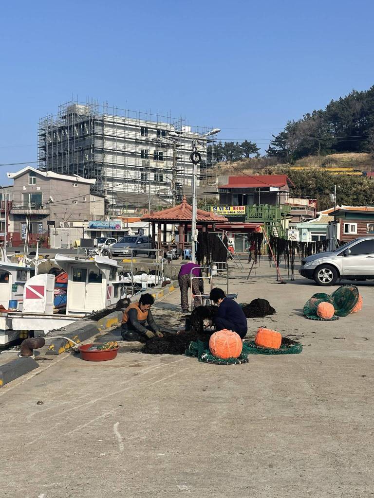
Back in the village, I come across a group of Haenyeo hanging the seaweed they harvested on long lines so it dries in the salty air. By now quite hungry, I stop at the convenience store to buy some cup noodles and an onigiri before getting my finish stamp for trail 18-2 at the Jeju Olle information center. Trying to balance the container filled with hot water, I finally climb up to a shrine at the northern coast of Sangchuja. Here I find a quiet spot with a nice view of the fishing village. I eat my early dinner and then stop once more at the convenience store to buy a dessert before heading back to my accommodation. After a refreshing hot shower, I then head out one more time for sunset by the sea with my chocolate mochi. I take a moment to reflect on the day and the trail, was it really the most beautiful section of the Jeju Olle hikes I’ve done? The fact that you have sea views throughout is definitely a plus! But I feel the hiking (especially combining both routes) has been more challenging than most trails on Jeju. So I’m definitely in need of the comfortable room at my Minbak. And after a good night’s rest, I head down to the port the next morning and take the ferry over to Jeju island. Here I spend a couple of restful days revisiting some of my favourite areas around Seogwipo.